Vietnamese scientists develop air-pollution warning software
- Ngoc Huynh
VietNamNet Bridge – Scientists from the Hanoi University of Engineering & Technology, a member school of Hanoi National University, have invented an air pollution warning system by using satellite images.
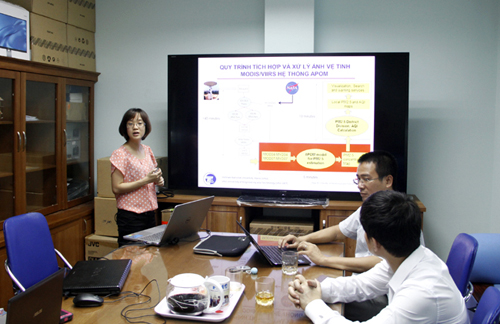
Dr Nguyen Thi Nhat Thanh talks about APOM
The APOM (air pollution management) system is management software integrated with Google and run on apom.fimo.edu.vn. The program uses WebGIS database which can provide information about pollution levels, indices about dust pollution, and density of fine dust in the air in each area. The information is shown on a map of Vietnam.
Utilizing the technology on collecting and processing remote sensing satellite images, this is the first research work in Vietnam that uses satellite imagery to give air pollution warnings.
According to vietnamscience.vn, the system has several advantages. First, working online, it automatically collects and processes image data from remote sensing satellites Terra MODIS, Aqua MODIS and Suomi NPP VIIRS of NASA and the satellite receiving station of UET installed by eOsphere Limited, UK.
Second, it calculates the PM2.5 parameter (concentration of dust with size <2.5 micrometers in the air) for the entire territory of Vietnam, spatial resolution 10×10 km with a frequency of 4 times/day (based on Terra/Aqua MODIS image processing) and 6×6 km at 2 times/day (based on NPP VIIRS image processing).
Third, it applies the formula of transformation from PM2.5 to air quality index (AQI) according to Vietnam standards and international standards. Through separating data for 63 provinces/cities, the system supplies an image source of PM2.5 dust, AQI for the entire territory of Vietnam and provinces/cities from 2010 to present.
According to Dr Nguyen Thi Nhat Thanh, the head of the research team, in 2014, Hanoi National University developed a satellite data receiving station to serve scientific research.
She then thought of taking full advantage of satellite images the station collects to analyze the concentration of dust in the air and show information on maps associated with warnings.
Thanh and her students set about to work on the system in late 2014. The system was completed one year later, while the software trial went smoothly.
According to Thanh, information about dust pollution throughout the country has been provided from automatic monitoring systems operating in Hanoi, Phu Tho, Quang Ninh, Hue, Da Nang and Khanh Hoa.
Hanoi, which is believed to have the highest air pollution level, only has one monitoring station on Nguyen Van Cu street in Long Bien district.
The problem of the monitoring stations is that they only show the pollution indices in the areas where the stations are located.
Source : http://english.vietnamnet.vn/